
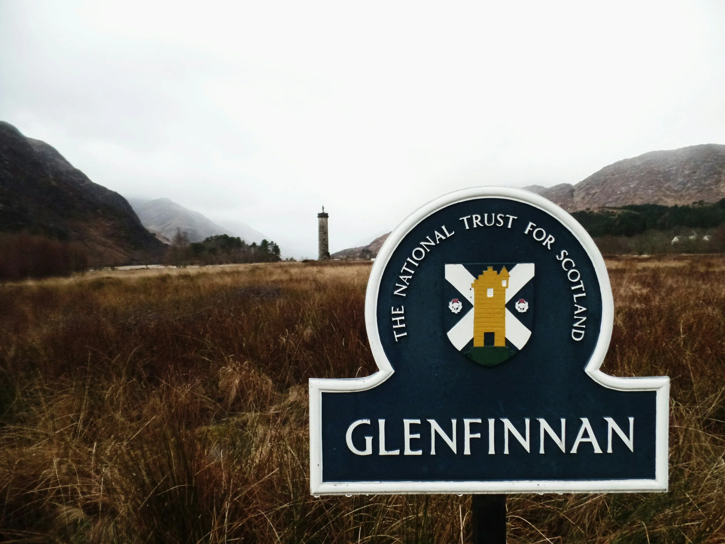
Imagine driving along a twisting Highland road. As you wind through mountain passes and skirt around glistening sea inlets, the road signs present a pattern of intriguing names: Ben Nevis, Glencoe, Loch Ness, Inverness, Eilean Donan. To someone visiting Scotland for the first time, these words can look like a fascinating, if slightly tongue-twisting, puzzle.
Yet these names are far more than poetic labels. They are descriptive markers left behind by the people who lived in, worked, and walked these lands over hundreds of years. As outlined in the Ordnance Survey guide to Gaelic place names, most of them come directly from Scottish Gaelic (Gàidhlig), while others carry echoes of Old Norse, ancient Brittonic, and Scots. Once you learn to decipher a few of these recurring words, the map opens up, telling you whether a road is leading toward a broad river valley, a sharp mountain peak, an ancient fort, or a secluded island.
To understand why so many Scottish place names sound similar, it helps to look briefly at the country’s linguistic past. Scottish Gaelic was once spoken across almost the entire Scottish mainland and the western islands. Although the language is primarily spoken today in the Outer Hebrides and parts of the Highlands, its historic footprint stretches into almost every corner of the country.
When Gaelic speakers named a place, they were usually practical. A name might describe the shape of a hill, the flow of a river, the quality of the surrounding soil, or a historic event—meanings that can often be explored using resources like LearnGaelic. Consequently, when you travel through Scotland today, the place names on your map act as a direct description of the surrounding environment.
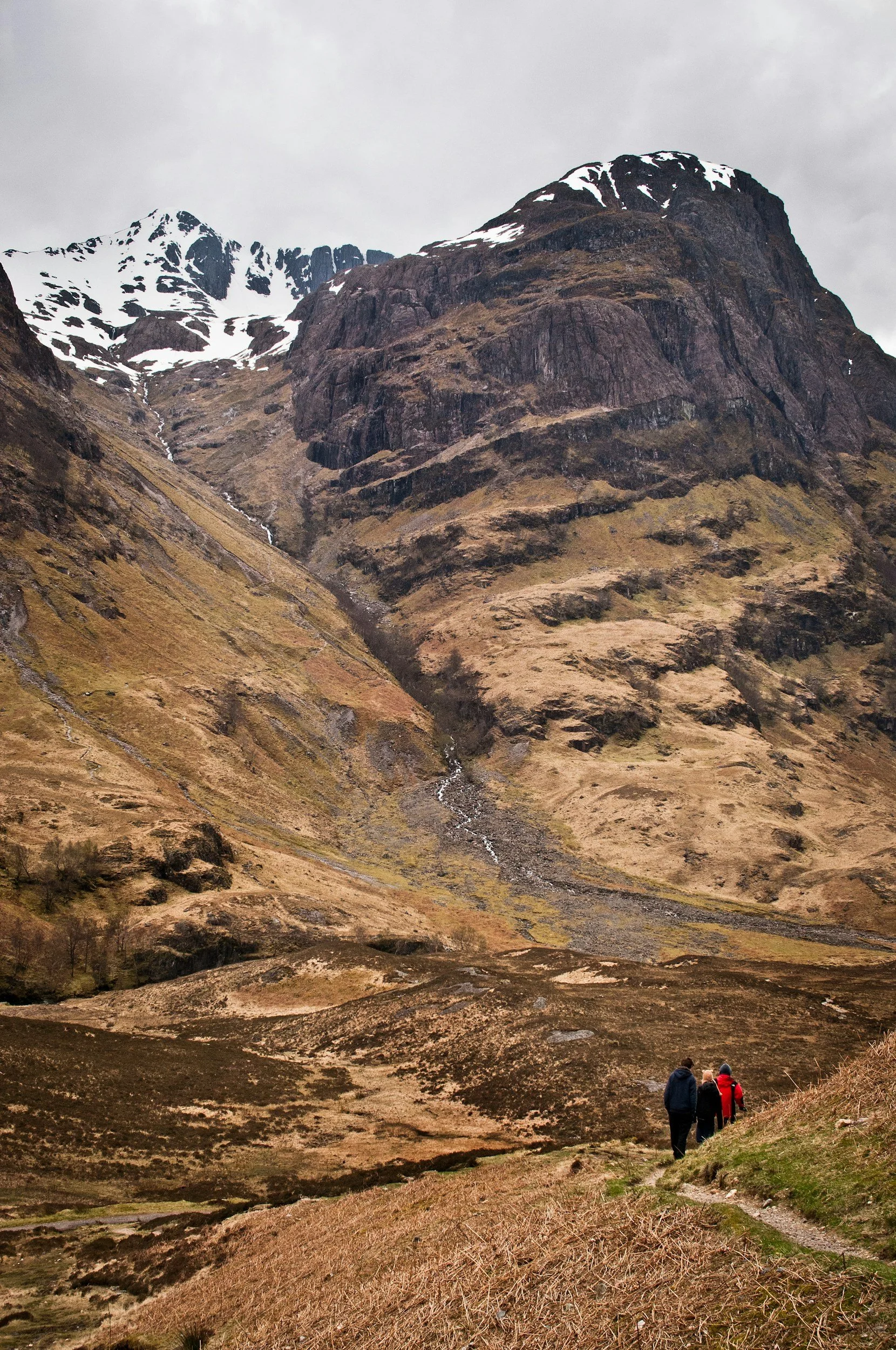
When looking at that environment, it is hard to ignore the mountains that dominate so much of the Highland scenery, where the Gaelic vocabulary for high terrain becomes remarkably precise. The word visitors encounter most often is Ben, which is the anglicised form of the Gaelic beinn, meaning a mountain or prominent hill peak. Ben Lomond, Ben Macdui, and Ben Nevis all share this root. Interestingly, even the most famous names can have debated origins. While Ben Nevis is universally recognised as Britain's highest peak (as highlighted by VisitScotland), language experts at Ainmean-Àite na h-Alba note that the second half of the name, Nèibhis, is interpreted in different ways. Some suggest it means "malicious mountain" or "bitter peak" due to its treacherous weather, while others link it to an ancient word for clouds or heaven.
However, Gaelic does not describe every high place with the same word, as the specific shape of the land matters greatly:
Sgùrr: Refers to a sharp, rocky, or jagged mountain peak. Walkers exploring the dramatic ridge on the Isle of Skye will frequently encounter this word, such as in Sgùrr nan Gillean or Sgùrr Alasdair.
Meall: Used when a mountain has a rounded, bulky shape. It literally translates to a lump or rounded hill.
Càrn: Indicates a summit capped with loose rock or a heap of stones, a term closely related to the English word "cairn."
Dropping down from these summits, the shape of the low ground carries its own descriptive terminology. Almost every visitor to Scotland encounters a Glen, anglicised from the Gaelic gleann. A glen typically refers to a valley bounded by steep hillsides. Famous examples include Glencoe, Glenfinnan, Glen Affric, and Glen Lyon. When you see the word Glen on a map, you can usually picture a classic Highland valley carved out by ice and water.
Furthermore, travellers often wonder about the distinction between a glen and a Strath. Derived from srath, a strath generally describes a broader, wider, and flatter river valley. While a glen can feel enclosed and dramatic, a strath usually opens out into wider agricultural land. Strathspey, famous for its river and whisky distilleries, and Strathmore are prime examples of these spacious river valleys.
Higher up in the mountains, another common geographic feature is the Coire (often anglicised as corrie). A coire is a bowl-shaped hollow or amphitheatre created by glacial erosion high on a mountain flank. Hikers will spot this term across Highland maps, describing dramatic mountain hollows where snow often lingers late into the spring.
From the high mountain hollows and winding valleys, water inevitably draws the traveller's eye, introducing another layer of descriptive naming. It is a well-known travel fact that Scotland has very few official "lakes" by name - Lake Menteith being the primary exception. Instead, water features are known as Lochs.
What surprises many international visitors, however, is that a loch is not strictly a freshwater body. In Scottish terminology, a loch can refer to an inland freshwater lake, such as Loch Ness or Loch Lomond, or a long, narrow sea inlet carved out by glaciers, known as a sea loch. Loch Linnhe and Loch Torridon, for instance, are tidal saltwater sea lochs that open directly into the ocean.
Scattered throughout these waters are Scotland’s islands, frequently bearing the Gaelic element Eilean. One of the most photographed locations in the country, Eilean Donan, simply translates to the "Island of Donán," referring to a 7th-century Celtic saint who established a monastic cell there.
Moving beyond physical terrain, place names also offer fascinating clues about human settlement, early Christianity, and ancient fortifications throughout Scottish history. One of the most frequent prefixes you will spot on road signs is Inver, anglicised from inbhir. It signifies a river mouth or the confluence where two waters meet. Inverness, for example, sits right at the mouth of the River Ness where it flows into the Moray Firth. Similarly, Inveraray sits at the mouth of the River Aray.
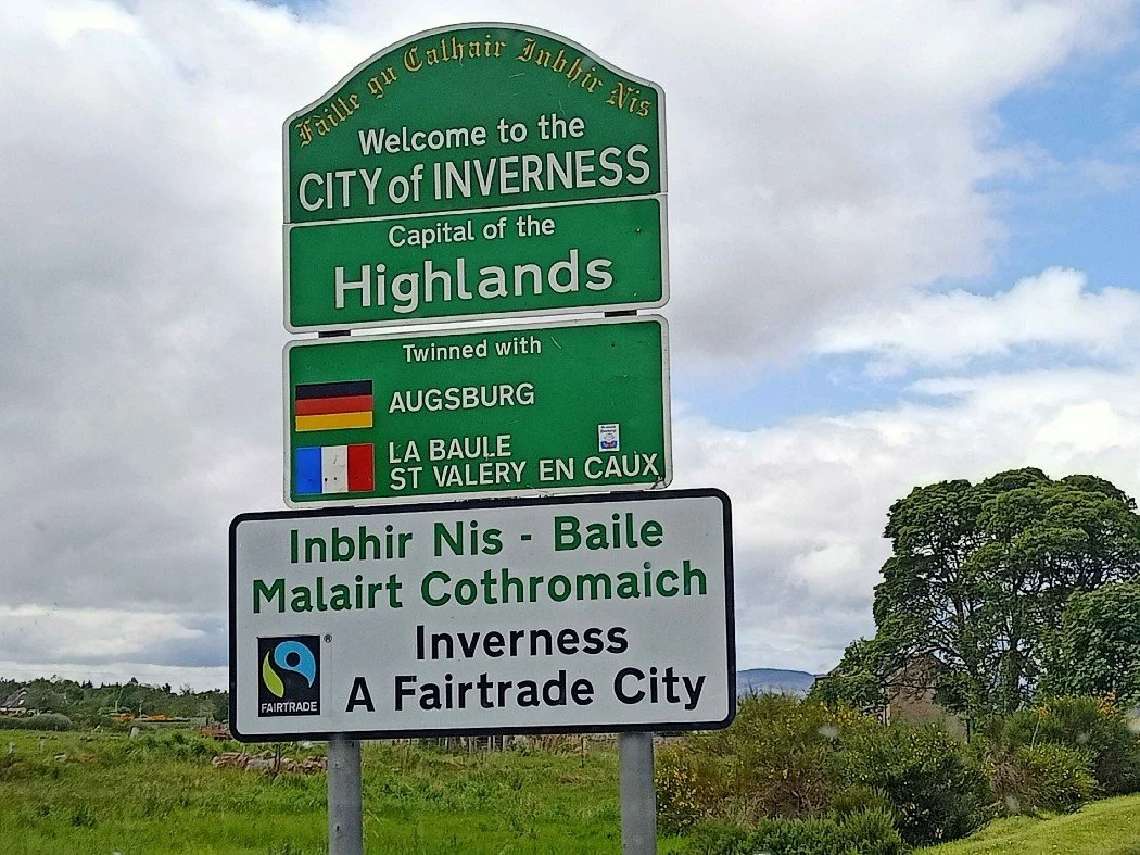
Inver, anglicised from inbhir
Importantly, Scotland’s linguistic landscape is layered, and not every river-mouth name comes from Gaelic. In eastern and central Scotland, you will frequently see towns beginning with Aber, such as Aberdeen or Aberfeldy. Aber comes from the ancient Brittonic language - spoken by the native Picts and early Brythonic Celts - and shares the exact same meaning as Inver. As noted in the Ordnance Survey guide to Scots place names, seeing Aber and Inver across the country highlights how different language groups occupied different parts of Scotland over centuries.
Other settlement prefixes tell stories of defence, farming, and faith:
| Element | Gaelic Origin | Meaning | Famous Examples |
|---|---|---|---|
| Dun | Dùn | Fort or fortified place | Dunvegan, Dunadd, Dundee |
| Bal | Baile | Settlement, farm, or township | Balmoral, Balquhidder, Balfrae |
| Kil | Cill | Church, saint's cell, or burial site | Kilmarnock, Kilmartin, Kilcreggan |
While "Kil" usually stems from cill denoting an early Christian site, language enthusiasts should take care. In a few rare cases, "Kil" can originate from coille (a wood) or cúil (a nook), proving that modern spellings can sometimes hide different linguistic roots.
While Gaelic covers vast areas of the map, Scotland’s Viking heritage left an indelible mark on northern and western regions. From the 8th to the 15th centuries, Scandinavian settlers lived alongside native populations in Orkney, Shetland, the Hebrides, and parts of the northern mainland, a historical chapter explored in the Ordnance Survey guide to Scandinavian origins.
As a result, Norse place names are embedded across these coastal landscapes. For instance:
-ay or -ey: Derived from the Old Norse word ey, meaning island (seen in Islay, Raasay, or Orkney).
-bost: Derived from bólstaðr, meaning a farm or homestead (common in the Outer Hebrides).
-vik: Meaning a bay or inlet, as seen in Wick or Lerwick.
Lerwick harbour Shetland bay inlet in Scotland
Over time, many of these Old Norse names were adapted into Gaelic pronunciation and later into English spellings, a process detailed in Ainmean-Àite na h-Alba's study on Gaelic and Norse in the Landscape. Discovering these linguistic layers is one of the distinct joys of travelling through the country. On guided journeys, such as those with Tartan Viking Tours, local guides often point out how a single village name on a coast road can reveal a story of Norse raiders settling down to live alongside Gaelic-speaking communities.
Because place names have survived through centuries of spoken tradition, shifting spellings, and official anglicisation, discovering their true origin is not always straightforward. Modern road signs show English phonetic versions of ancient words, which can occasionally obscure the original meaning.
Furthermore, historical linguists and place-name specialists at organisations like Ainmean-Àite na h-Alba - who explore landscape naming in their Gaelic in the Landscape report - frequently encounter names with multiple potential origins. A modern spelling can hide two completely different historical root words. Therefore, it is always wise to approach place-name translations with curiosity and flexibility rather than assuming every internet definition is absolute fact.
Ultimately, understanding even a handful of these common elements transforms a trip across Scotland into an interactive experience. A map ceases to be a collection of unfamiliar words and becomes a vivid description of the land itself.
When you pass a road sign for a Glen, a Strath, an Inver, or a Dun, the name is telling you what lies around the next bend. It tells you whether early inhabitants built a fort on the hill above, where two rivers join, or how a mountain’s shape impressed the people who lived beneath it centuries ago. The next time you set out across Scotland, take a moment to look closely at the names on the map—they are ready to tell you their story.